Yichang unveils first drone service platform
2024-12-18 19:12:56
By Chen Si,Gao Bingxi, Jin Xiaozhe also contributed to this article.
Yichang's first drone operation management platform was unveiled at the Yichang Surveying and Mapping Research Institute on December 16.

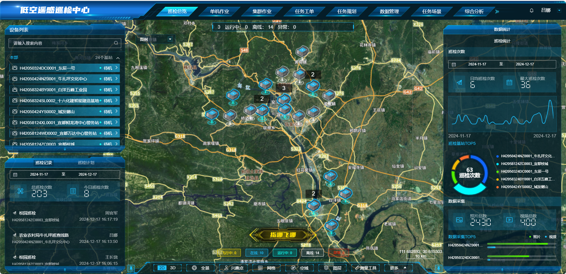
The Low Altitude Intelligent Operation Service Platform is operated by the institute and developed by its parent company - the state-owned Three Gorges Design Group. By 2025 when the platform is completed, it will consist of 113 intelligent drone docking stations covering all counties and towns, creating a city-wide low-altitude remote sensing monitoring network.
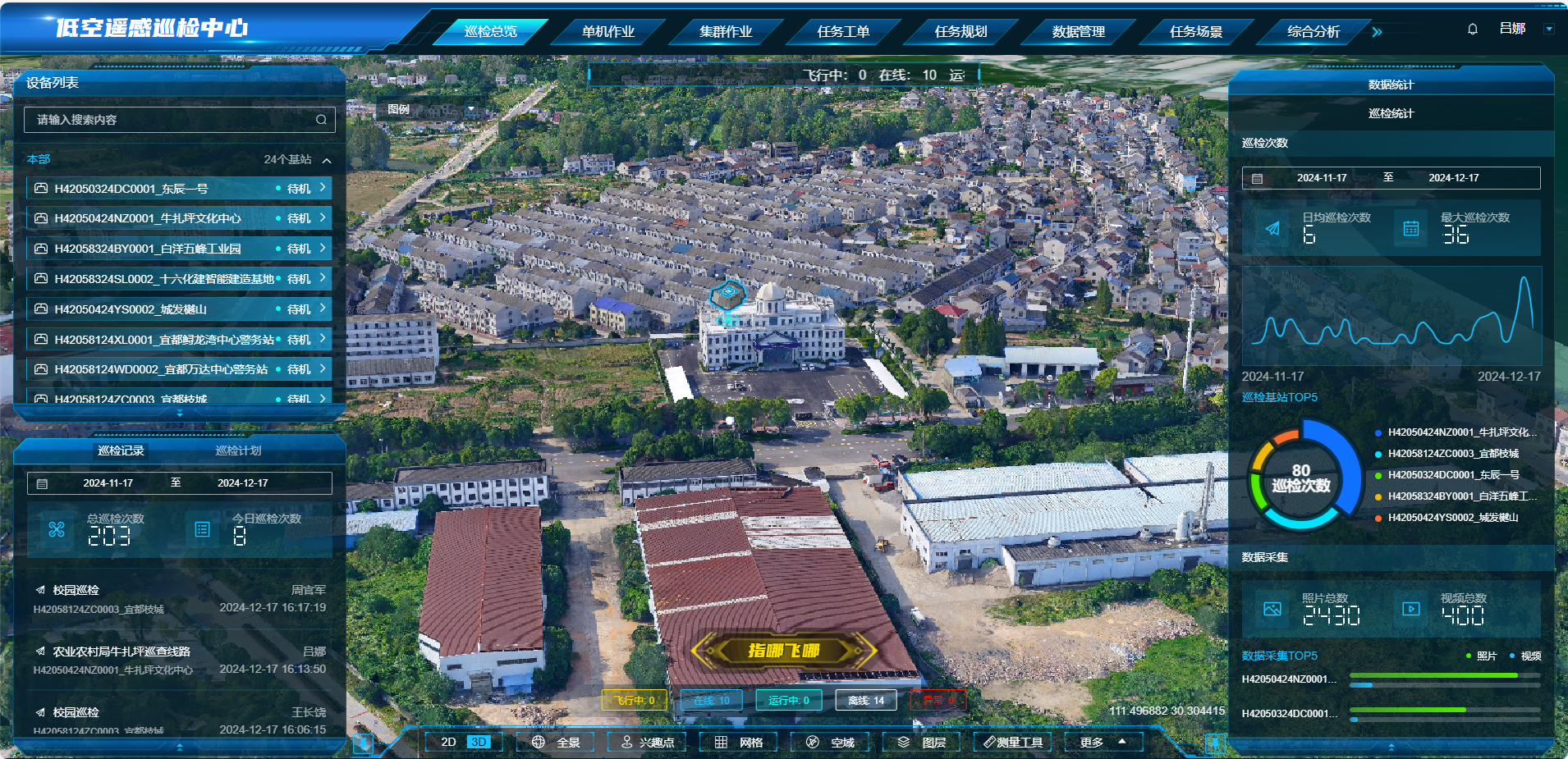
The platform enables automatic release, retrieval, and management of drones for various missions. It also provides real-time monitoring, airspace visualization, mission planning, and data analysis.

During the event, the Three Gorges Design Group presented eight application scenarios for low-altitude intelligent drone operation services: construction site safety patrol, intelligent community monitoring, traffic management, package distribution, forest fire prevention, intelligent agriculture, intelligent health material transportation, and remote sensing mapping.
Services such as drone takeaway delivery, drone spring ploughing, and drone forest fire early warning are expected to be realized first.

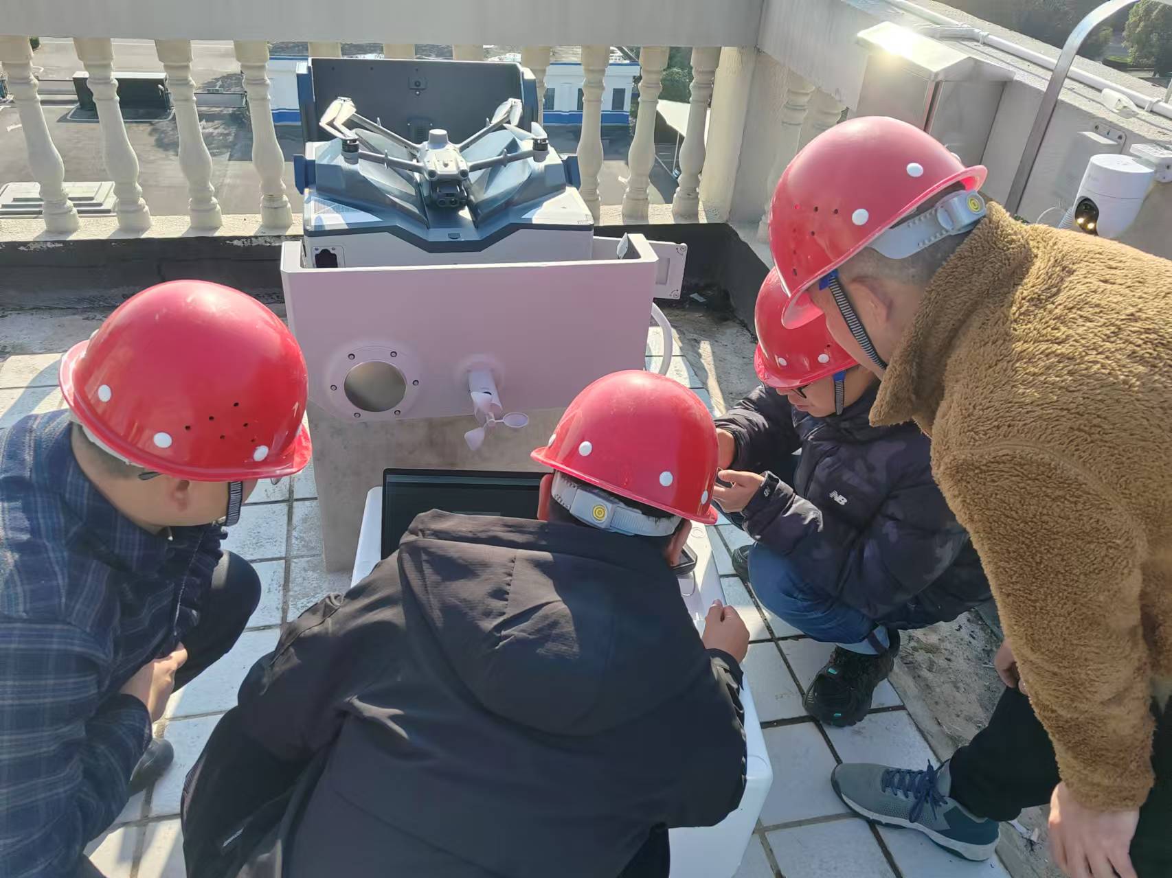
According to Wang Changrao, an engineer from the Yichang Surveying and Mapping Research Institute, the drones can stay airborne for 30 minutes and accurately monitor an area with a 5-kilometer radius. After completing their task, the drones automatically return to the docking station for recharging. In cruise mode, they can make up to 12 trips a day, significantly improving work efficiency.
Lu Na, a technical engineer of the Yichang Low Altitude Intelligent Operation Service Platform, explained that through preset scheduling, drones can autonomously complete take-off, cruise, data collection, and docking processes. They can also conduct in-flight analysis to identify incidents that require human operator intervention.
Currently, Yichang has installed 19 drone docking stations, providing full coverage of the low-altitude airspace in the city center area spanning 1,200 square kilometers.
Yichang's first drone operation management platform was unveiled at the Yichang Surveying and Mapping Research Institute on December 16.

The Low Altitude Intelligent Operation Service Platform is operated by the institute and developed by its parent company - the state-owned Three Gorges Design Group. By 2025 when the platform is completed, it will consist of 113 intelligent drone docking stations covering all counties and towns, creating a city-wide low-altitude remote sensing monitoring network.
The platform enables automatic release, retrieval, and management of drones for various missions. It also provides real-time monitoring, airspace visualization, mission planning, and data analysis.

During the event, the Three Gorges Design Group presented eight application scenarios for low-altitude intelligent drone operation services: construction site safety patrol, intelligent community monitoring, traffic management, package distribution, forest fire prevention, intelligent agriculture, intelligent health material transportation, and remote sensing mapping.
Services such as drone takeaway delivery, drone spring ploughing, and drone forest fire early warning are expected to be realized first.

According to Wang Changrao, an engineer from the Yichang Surveying and Mapping Research Institute, the drones can stay airborne for 30 minutes and accurately monitor an area with a 5-kilometer radius. After completing their task, the drones automatically return to the docking station for recharging. In cruise mode, they can make up to 12 trips a day, significantly improving work efficiency.
Lu Na, a technical engineer of the Yichang Low Altitude Intelligent Operation Service Platform, explained that through preset scheduling, drones can autonomously complete take-off, cruise, data collection, and docking processes. They can also conduct in-flight analysis to identify incidents that require human operator intervention.
Currently, Yichang has installed 19 drone docking stations, providing full coverage of the low-altitude airspace in the city center area spanning 1,200 square kilometers.


